|
For Reliable Results |
|
Magnetics Survey SKU/Item Number: JS 010MAG |
|
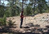
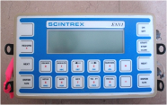
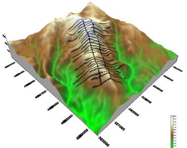
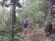
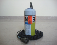
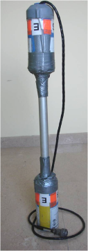
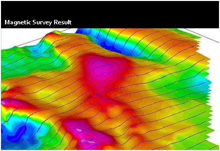
Magnetic A magnetometer is used to measure the intensity of the earth's magnetic field. Deviations of magnetic intensity are caused by changes in concentrations of natural ferrous minerals or by ferrous metals. Gradient magnetics Measurements of gradient of Earth's magnetic field are often preferred over the field's total strength. Measured anomalies are smaller, but resolution is higher. Instruments for horizontal and vertical gradient measurements are used. They use the same sensors as instruments that measure the total field, but there are two sensors in the relevant direction so that the difference between field strength in the Z, X or Y directions can be measured. Surveys are conducted on the ground, by fixed-wing aircraft, and by helicopter. As for magnetic surveys, gradient magnetic measurements are interpreted in terms of variations in magnetic susceptibility. Location and Mapping of Buried Ferrous Metals Magnetic gradient measurements. Uses: • Magnetic measurements can be used for location and mapping of buried ferrous metals (i.e. wastes, drums or underground structures and utilities). • Generally, vertical magnetic gradiometer measurements are used for the detection and mapping of buried ferrous metals. . A vertical gradiometer response is a function of the object'smass and depth. Response to a steel drum is proportional to the eciprocal of the depth to the fourth power for gradient measurements and is proportional to the reciprocal of the depth cubed for total field measurements. Advantages: • Measurements are relatively easy to make; • Does not require intrusive ground contact; • Detects ferrous metal (iron or steel) only; • Station or continuous profile measurements; • Carried by hand or vehicle‐mounted; • Gradient measurements can detect a single 55‐gallon drum to a depth of about 10 feet (total field measurements about 18 feet); • Gradient measurements can detect a dozen drums to depths of about 20 feet (total field measurements about 36 feet); • Vertical gradient measurements are insensitive to natural changes in the earth's magnetic field and much less sensitive to interference from nearby steel objects. Disadvantages: • Gradient measurements are less sensitive than total field measurements; • Gradient measurements are still somewhat susceptible to interference from steel pipes, fences, vehicles and buildings. |


|
Home |

|
About Us |

|
Contact Us |

|
Project |

|
Referances |

|
Certificate |
|
Back Survey |

|
Equipments |


|
GEOLOGIST'S CONCERN: |
GEOPHYSICIST THINKS IN TERMS OF: |
APPLICABLE GEOPHYSICAL METHOD: |
|
faults and fractures |
• abrupt changes in resistivity and density |
Resistivity, Seismic, Gravity, Magnetics, CSAMT, TEM, FEM |
|
Metallic luster minerals |
|
|
|
disseminated |
• 0.2 to 5% minerals • weak conductor • low resistivity • moderate to strong IP |
Resistivity, IP, CR, SP, Magnetics, Seismic |
|
massive |
• greater than 10% mineralization • strong conductor • very low resistivity • moderate to weak IP |
Resistivity, CSAMT, TEM, FEM, Magnetics, Seismic, SP IP, CR |
|
alteration |
• high or low resistivity depending upon alteration type • weak magnetics • moderate to weak IP |
Resistivity, IP, CR (CLAYS), Magnetics, CSAMT, TEM, FEM, Radiometric, SP |
|
weathering |
• low over high resistivity • weak magnetics |
Resistivity, CSAMT TEM, FEM, Seismic, Magnetics, (IP), CR, Radiometric |
|
buried stream channels |
• subtle resistivity changes • magnetic sands • density changes |
Resistivity, NanoTEM, Magnetics, Seismic, (TEM, CSAMT) |